World North America Lower Canada (Canada East) Upper Canada (Canada West) United States (see also CAR-MAP-440 - 1867, although it covers all the U.S.) Maine New Hampshire & Vermont Massachusetts
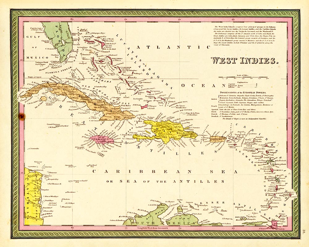
& Rhode Island Connecticut New York State City of New York New Jersey Pennsylvania Philadelphia Maryland & Delaware Washington, D.C. Virginia North Carolina South Carolina Georgia Florida Alabama Mississippi Louisiana Arkansas Tennessee (see also CAR-MAP-481 - 1835 and CAR-MAP-069, 1850) Kentucky Ohio Michigan Indiana Illinois Missoiuri Wisconsin Iowa Texas Oregon, Upper California & New Mexico Mexico West Indies South America Venezuela,
New Grenada & Equador Brazil Peru & Bolivia Chili, La Plata & Uruguay Europe England Scotland Ireland France Spain & Portugal Holland & Belgium Germany Denmark Prussia Kingdom of Sardinia Switzerland Austrian Empire Italy (North Part) Kingdom of Naples Turkey in Europe Russia in Europe Greece Asia (including Australia) Russia in Asia Turkey in Asia Persia, Arabia, etc. Hindoostan (India) China Africa Egypt Ocena of Pacific Ocean


Sweden
& Norway


